Tag Archives: backpacking

Groucho’s LAST WORD

It feels good to be back in the studio, finally making some things.

I’ve struggled to make Leadville home, and have been battling larger forces that have made it almost impossible to create art for many years. A severe traumatic brain injury in 2010 put an end to my career as a visual artist, curator, printmaker and teacher in Seattle. Dealing with the extreme depression, suicidal ideation and anxiety that ensued, it was all I could do to keep myself alive.

I finished up collaborative projects with No Touching Ground and other New Mystics members, and continued to work with Saint Genet on theatre projects after the TBI, but found it almost impossible to generate any personal work. What had once been an inexhaustible fountain of ideas and images became a personal hell.

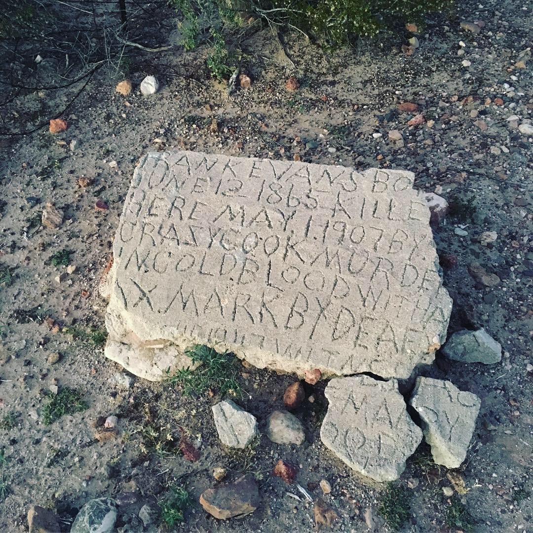
I always kept doing graffiti tho. The immediate nature of writing on things as communication with the natural world and memory of passage through space was the only creative outlet I found satisfying. It was like trying to reconstruct my identity, similar to reconstructing the language I lost in the accident (aphasia is a common symptom of TBI, and mine was severe). Those disparate marks in space were the only thing holding me together at times.

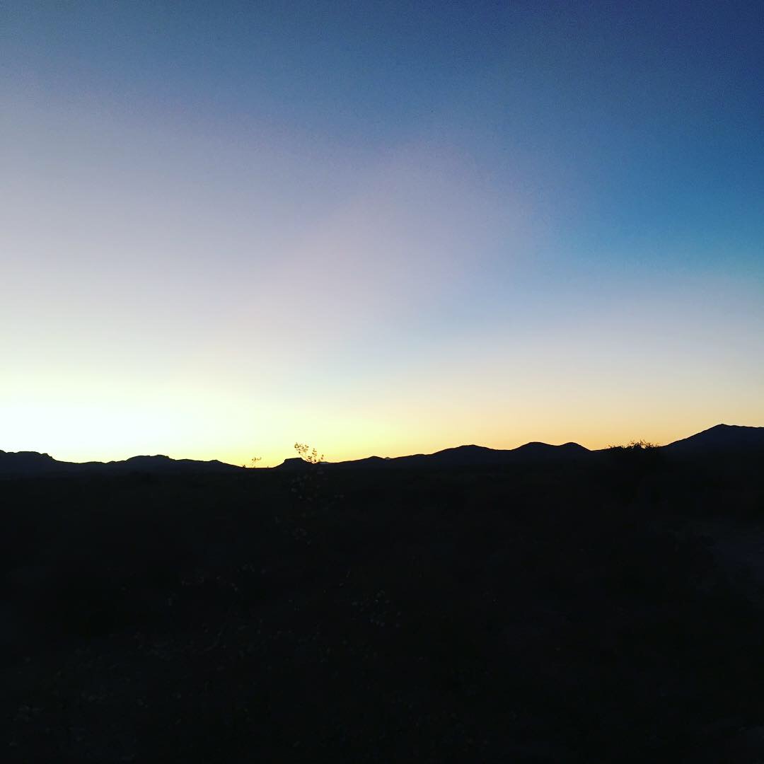
I also started hiking long distance trails during this time – a suggestion from Harpo regarding a long walk of the Appalachian Trail in 2013 was both the birth of the Wrong Way Gang, and the inception of a personal obsession. The limited scope of interaction and stimuli was helpful in managing my anxiety and depression, and the physical exhaustion helped with sleep and suicidal ideation. I recently read that Eye Movement Desensitization and Reprocessing (EMDR) therapy was developed as a reaction to Francine Shapiro’s walking in the park… apparently I’d started to develop my own ways of processing trauma, parallel to contemporary psychotherapy models. Of course, no treatment was available to me at the time, as I lacked basic healthcare from 2001 to 2017.

A recent conversation with a friend who had witnessed someone close to her cope with a TBI mentioned that she “had to make her world much smaller. Which was very different from her previous behavior, where she was extremely social and outgoing.” This statement resonates with me on many levels. During my Appalachian Trail thru hike, I started sending postcards as a way of communicating. The succinct nature of the writing appealed to me, and I desperately wanted to reach out to people without getting too close. These postcards became the foundation for a practice I carry on today – WORD PLAY.

The original WORD PLAY is a reference to the knuckle tattoo game – pick two 4 letter words. My knuckle read CAST IRON – an homage to my past running free vegan secret cafes and a practice of cooking as community, but also an acknowledgement that while a cast iron skillet can be kept carefully for generations, it will shatter if dropped on a concrete floor. I became obsessed with this game, and remain obsessed today, hundreds of postcards later.

My new body of work is an expansion of the WORD PLAY practice – using a printmaking process to create editions of singular works of art. As a printmaker I’ve always been obsessed with the individual, tactile nature of handmade goods. I’ve always been aware that the more personal and individual an object is, the greater the value… this made me a terrible commercial Tshirt printer, but a pretty good art printer; as a part of this fine art printing I became deeply interested in reduction printing. The prints in LAST WORD are either 4 to 6 color reduction screen prints, or multi-colored (and hand touched) reduction block prints. The beauty of reduction printing, especially paired with an experimental/overprinting process, is the print becomes an individual work of art which is un-reproducible.

I look forward to sharing these new prints, all made in Leadville, at Ahab & Absalom starting January 2021. More information, including a giveaway and virtual tour of the show coming soon!

Is It Even Thru Hiking? Groucho’s SLASH Flip Flop CT 2020

I was feeling restless, even after having completed a 4500 mile bike tour this spring and early summer. I mean, the tour itself was stress inducing… rather than contemplative expansiveness of previous journeys, travelling this year was filled with anxiety. Between the explosion of COVID and increased awareness of Black Lives Matter, there were a lot of factors mading the Days of Death tour less about personal meditation and more about social awareness and action. I totally support of and engaged in mutual aid, anti-racism. I also have mental health, just not all of it. I needed some mountain meditation – not to escape issues, but to walk with them.

I live in Leadville, so the Colorado Trail seemed appropriate. I hiked it in 2017 with my friend Atrain and his dog Ekho, covered many of the miles on my 2018 CDT thru, and hiked a modified Collegiate Loop last summer. The logistics were easy and familiar, and Sara needed a ride home from DIA and agreed to drop me at Waterton Canyon so I could start walking.

The miles were fast between Waterton and Breckenridge, but I definitely wasn’t in hiking shape. Climbing up over the 10 Mile range, and then again up Copper Mountain to Searle Pass was, um, hard. In 2017, going NOBO with Atrain we ate acid and flew up the 10 Mile climb, only to get hard, freezing rain on the way down into Frisco. Miles of memories overlapped as I traversed the familiar terrain between Copper and Tennessee Pass – meeting Futuredad and Huck on that section when I was hiking the CDT in 2018, and inviting Hot Legs and Digeridoo to CDT SOBO TRAIL DAZE the same year. I got to Leadville just before the Labor Day weekend, and decided to hide out. Then there was the early winter storm, and we got 11 inches of snow. I ended up taking 10 zero days!

Harpo suggested I could flip flop and hike northbound out of Durango..and maybe dodge some snow. She was kind enough to offer a ride down south…

Surprise! There was still plenty of snow in the San Juan mountains, especially leading up the Kennebec Pass. BUT I’d never flip-flopped a trail before, so now I guess I’m officially a wavy hiker. Is it even thru hiking? Who knows…

The walk into Silverton was beautiful as always. I raced the Colorado Trail Classic a couple weeks before; what took me 12 hours on a rigid single speed mountain bike (Molas Pass to Durango) took 3 days of walking. Reaching the San Juans felt like coming home – seeing the signs for the shared CDT/CT corridor made me realize I’ve been on this trail, or part of it, every summer for the last 4 years. I got an easy hitch into Lake City and slept by the river, resupplying and hitching back out the next morning. I love the walk across Snow Mesa, just north of Lake City… an expanse of high alpine meadow that stretches into the horizon, with the San Juans framed to the south. I finally ascended San Luis – a fourteener just off trail that I walked past twice before – summiting at 10pm on a night with no moon, seeing a panoply of stars and the Milky Way like a smear across the sky.

I was making good time and getting into my rythym. As I got service for the first time in days, I got a text message from my Reno friend Mikey, who had just finished installing an art project on the east coast. He was driving thru and wanted to check out Leadville. I’d be at HWY 50/Monarch Pass the next day… I told him to scoop me. I stayed with Mikey for a couple of weeks on the Days of Death tour, so I was excited to show him our small city in the high mountains. He picked me up the next morning – after I saw a huge bull moose in Fooses Creek – and we and headed to Leadvegas.

Mikey and I had a great few days in Leadville and I was sad to see him go. But the mountains were calling… I did a short slack pack with Jack the dog from Timberline trailhead to the Fish Hatchery and knew I had to get back out. The following day I picked up from the Fish Hatchery and headed south.

I hit Mt Elbert on the way, and traversed to South Elbert, descending via the Black Cloud trail and slept at the empty Twin Peaks campground. I had walked this section before and the traffic was terrible on HWY 81, but I arrived at night this time and under a full moon. The road walk was strange and beautiful. In the morning I explored the connecting social trails between the Twin Peaks campground and the Willis Gulch trailhead, where I started up towards Hope Pass and the Collegiate West route.

Collegiate West was scenic as always… and this time included a night hike under an almost full moon as I traversed the miles up to Alpine Tunnel. Seeing the high alpine terrain lit up in ghostly light was spectacular. The next morning I began the descent back to HWY 50 to connect my footpath. I cut down the forest road at Boss Lake so I could check out the new Butterfly House hostel and pick up a resupply package at the Monarch Mountain Lodge in Garfield. I walked down the old railroad grade that parallels the highway to intersect Collegiate East where I had left off… the road was flanked by aspens exploding with fall colors, the road itself a golden ribbon of fallen leaves.

Collegiate East was way more beautiful than I remember from my modified Collegiate loop last year. Timing is key. Tho there was no free coffee at the Princeton hot Springs store (ugh COVID again), everything was pretty, pretty hard, and surprisingly devoid of humans. I actually walked the whole road section out of Princeton, which I’ve trespassed before because wtf Christian camp, u gwan make me walk all the way around on a road with no shoulder?

I headed north past Princeton, Tabaguache and Chavano (the local Sawatch 14ers). I slept one night overlooking the faint lights of Buena Vista glowing like embers in the clear air. I woke up a day later at the top of a ridge with a hunter asking me for directions. From there, I headed over Waverly mountain to the Belford / Oxford traverse and descended into Missouri gulch, picking up a couple mile roadwalk to Sheep Gulch trailhead, allowing me to reconnect to the Collegiate West route. I ran over Hope Pass, trying to get to the Twin Lakes General Store before they closed at 6. I made it, and Bob bought me some rolling papers and 2 for one (end of the season) Bobo bars. I ended up night hiking for a few hours and sleeping near the Mt Massive trailhead… it was a long day with a lot of elevation; I slept well.

I was getting close to home and I was getting excited. But there was still one last challenge – the Mount Massive Ridge. It’s a spectacular and difficult hike. I headed out earlyish up the Mt Massive trail and cut northwest off trail about a mile in, following the topos up to South Massive. It was as hard as I remembered, and as beautiful. Following the ridgeline I drank some coffee at South Massive, and continued up and past the Massive summit, entering the rock problem area. Reminding myself of the first time attempting this ridge and how crazy scary it was – this was still physically hard, tho mentally easier as I moved through a lot of class 3 scramble, loose talus and pristine alpine meadow.

Around 2 pm I had just summited the last 13,000 foot peak on the ridgeline, and rather than walk all the way to Hangerman Pass, I decided to cut down Rainbow Lake and intersect the Highline Trail back to the Fish Hatchery. TBH I missed Jack the dog and was ready to be home. My housemate J agreed to meet me somewhere above the Fish Hatchery and we’d hike down & they would give me a ride home. Not all human powered, but a good portion of it… and a extra 100 miles or so on my CT journey, including a few new peaks.

I’m not sure if I found what I was looking for out there. It was a nice & meditative walk, punctuated by interesting and dynamic visits to the (smol) city. The more I explore how to get in & out of Leadville, the more it opens up. Personally, I feel like I’m trying to decrease my orbits and settle into home…

Borders & Reflections

IMG_8454

Done & done – 2900 miles border to border, triple crown, and 11,000 trail miles down. What’s next?

IMG_8567

The southern terminus is a Crazy Cook, a nowhere place in on the NM/Mexico border, just a little bump on the panhandle 85 miles away from any roads.

IMG_8566

Life is harsh out in the desert. Everything is sharp, the sun intense, and the bones bleached dry.

IMG_8564

I was skeptical about the southern terminus, expecting another anticlimax. I’m happy we were there at sunset, where the light turned spectral over the western mountains. It’s hard to tell from the photo, but as the sun descended behind the hills there was intense pink and blue banding fading into a perfect butter yellow sky.

IMG_8563

We waited for hours at the road after walking the 85 miles back – no luck hitching, only a couple of cars. Finally we got a ride from border patrol – we didn’t bother telling him Huck was a Danish national on a dubious visa.


Into the Desert!

Checking out the new scenery headed into Ghost Ranch NM

Finally! At the Colorado/New Mexico border… 800 miles left!

Winter tarp lyfe – almost not frozen!

Following Huck into the snow, Carson National Forest, NM

Sunrise on the tall grass.. NM

Warmer than it looks? I can almost feel my feet…

More picture of rocks

Yellowstone – watching people waiting to watch things.

Summit Lake at sunset – Yellowstone NP

Did I mention I love the Wind River Range? Upper Jean Lake, on the trad CDT route.

Fremont Creek at sunrise. Wind River Range, Bridget/Teton National Forest, WY

Headed towards Hat Pass, the winds