East Coast Big Lady – Harpo & Groucho’s stealth spot on day 3 of their AT hike – Katahdin viewed from Rainbow Lake (July 2013)
Now that we’ve announced we’re hiking the Pacific Crest Trail this summer, we’ve been getting some questions about how this journey will differ from our 2013 AT thru hike. For honest journalisms-sake, we’ll have to give you an update on that when we finish. But for now here are some quick thoughts based on research and good ol’ fashioned hearsay:
Mileage
The PCT is just under 2700 miles, while the AT is just under 2200 miles.
Trail Condition
The PCT is graded and maintained for pack animals and thus has more switchbacks, nicer quality trail surface, and less scrambling. The PCT traverses through higher elevation mountains (10,000-14,000 footers as opposed to 4000-6000 footers), and so there may be some brief bits of snow travel, especially in the North Cascades in WA or Sierras in California, depending on when we get to those spots.

This is an example of the “trail” in Maine. A bare rock slab going straight up hill with crevices for foot/hand holds rendered slippery and useless by the frequent rain. The easiest way to get up, even with a 20lb pack, was literally to get a running start (i.e. sheer force of will.)
Elevation Change
We’ve seen varying numbers on the exact number of elevation gain/loss over time on the AT or PCT (or CDT for that matter). But we’ve been told by thru hikers of both treks that 30 miles on the PCT feels like 20 miles on the AT, because of trail quality and gentler elevation profiles. This recent blog post by reputable hiker/mapper Guthook (whose apps are fantastic BTW), suggests the following in this blog post:
Overall elevation gain/loss on Appalachian Trail: 917,760′ over 2185.3 mi (avg: 420’/mi)
Overall elevation gain/loss on Pacific Crest Trail: 824,370′ over 2668.8 mi (avg: 309’/mi).
Overall elevation gain/loss on Continental Divide Trail: 917,470′ over 3029.3 mi (avg: 303’/mi).

Harpo climbs a sleep & slippery talus slope, seemingly out of the clouds, towards Chairback Gap lean-to
Hiking Time
Who knows. Any number of things can impact how long a hike takes, including your personal pace, quality of terrain, elevation gain, your efficiency with hiking chores like water filtration or setting up your sleep system or eating, weather, length of hitching to resupply, amount of time spent in town resupplying, number of zero (non-hiking days) you take, injury/illness, trail closures due to fire, well… you get the point. But generally speaking, someone who has already thru hiked has figured out how to be efficient at hiking/camping, and so barring injury, illness, or other unexpected detours, we’ve heard that it might take 2-4 weeks LESS time to hike the PCT even though it has more miles, because of the aforementioned trail conditions and our previous experience. We’re thinking it will take 4-5 months.

time saver… we were contemplating hitching to town to go to the brewery/hostel and then some nice day hikers gave us trail magic – rejuvenating our spirits, saving us a trip to town and surreptitiously providing us several extra happy hours of hiking.
Traffic on Trail
Last year on the AT 653 Northbound thru hikers, and 76 Southbound thru hikers claimed to have finished the entire trail (about 20% of those who attempted it.) The PCT currently collects and publishes less data about thru hikers, but at least 336 people reported a completed thru hike in 2014 (the PCTA thinks about 50% of people who attempt a PCT thru hike finish.) Due to the cultural zeitgeist around thru hiking also fueled through the recent movies “Wild” about the PCT and “A Walk in the Woods” about the AT, traffic is increasing dramatically in recent years. However, most (like 80-90%) of those hikers begin their journeys in California and hike northbound (NOBO). Beginning in Washington and hiking southbound (SOBO) we expect significantly less thru hiker traffic on the trail than our AT experience. This should be good for our meditation practice 🙂
Views
The states of Maine and New Hampshire offer the only above-treeline hiking on the AT. While we experienced much beauty both in the NE and along the whole AT, we expect more epic vistas and geologic diversity on the PCT as we travel along ridge lines, maybe thru snow fields, in proximity of Rainer, Hood, Shasta and Whitney, and then thru the Sierras down into the desert near Joshua Tree.

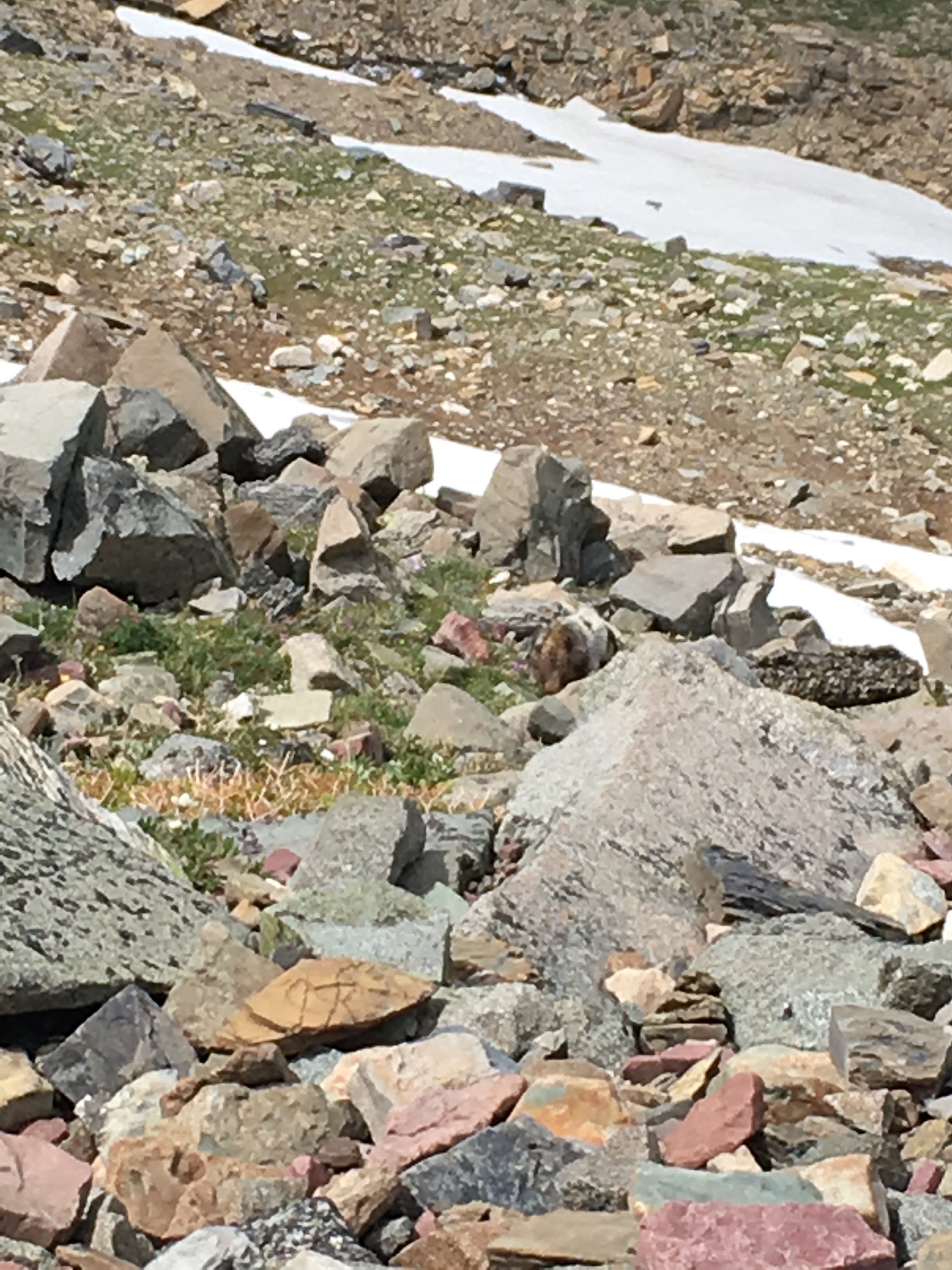
West Coast Big Lady – Groucho’s stealth spot on a PCT section-hike – just inside the Rainier National Park (August 2014)
Water
For the first half of the AT, water was plentiful. We sometimes felt guilty even treating water because it was pouring cold and strong from a pure spring out the side of a mountain. Once we reached the halfway mark in Pennsylvania in September we started running into dry sources, needing to sometimes hike .5-1 mile off trail for water. This continued intermittently into Virginia and Tennessee until winter precipitation began.
On the PCT we’ll have a crazy different challenge when we get to the desert in the fall. We’ve heard about 30+ mile stretches without sources, and the need to carry 6-10 litres in the heat of the summer. Thankfully there is a frequently updated water report that we’ll be able to print out on a daily or weekly basis to help with our planning. If anyone sees a camel for sale on ebay or something, let us know…

There was so much water in the northern section of the AT that we were often walking in/on/thru it.